

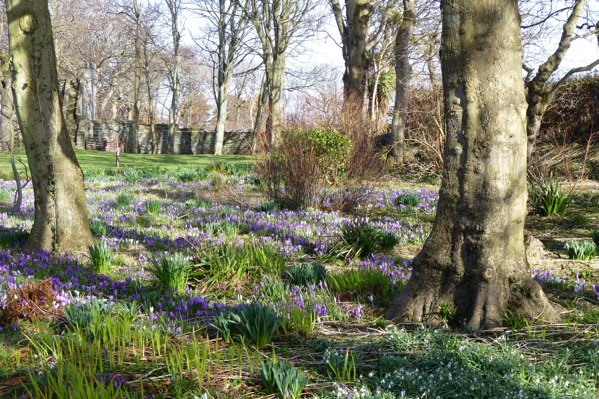
In a September 2022 blog post titled A Shot in the Dark I wrote about the importance of having baseline data on our urban tree canopy cover (TCC). To briefly recap, baseline TCC data is important because it provides a metric that is easy to comprehend, allows us to monitor change over time, to set targets, to influence policy, and to estimate the extent of ecosystem services delivered by trees.
I have used a free online tool called i-Tree Canopy to estimate TCC within the four Douglas (HoK) constituency boundaries. The software randomly lays points onto Google Earth imagery and the user then decides what each point should be classified as. This classification can be as simple as tree/not tree or more advanced, recording different kinds of impervious surfaces and other types of vegetation. From this classification of points, a statistical estimate of the amount or percentage cover in each cover class can be calculated, along with an estimate of how accurate it is (standard error, SE).
The number of points used in each constituency area was determined by the SE, which needs to be under two to provide a meaningful result, so I kept adding points until a satisfactory SE was achieved. The number of points used ranged from 500 (Douglas South) to 400 (Douglas Central). 1800 points were classified across the whole Douglas area. The results for individual constituencies are as follows:
| Constituency | % TCC |
| Douglas North | 16.9 |
| Douglas East | 18.4 |
| Douglas Central | 15.0 |
| Douglas South | 20.4 |
TCC for the whole Douglas area came out at 17.5%. To most people this figure will be meaningless; is 17.5% TCC good or bad?? Fortunately, Forest Research (the research arm of the Forestry Commission) have published TCC data for over 250 towns and cities in the UK (Doick K.J et al 2017).
For a fair comparison, it should be acknowledged that TCC is generally lower in coastal towns and cities compared to inland equivalents. The graph below shows the Douglas TCC against nine other coastal towns and cities of a similar size to Douglas (blue bars) and nine larger coastal conurbations (yellow bars).

From this small sample you can see that Douglas is doing pretty well amongst its peers. The average TCC of coastal towns was 13.7%, but the TCC of Douglas even exceeds the mean TCC of all of England’s towns and cities (coastal and inland) which was 16.4%.
Before we slap ourselves on the back and congratulate a job well done though, we should acknowledge a potential flaw in this result. i-Tree Canopy uses Google Earth imagery, which for some reason is currently a patchwork of imagery from 2006 and 2023. It would be more helpful if all the imagery was the same date, even if it was 17 years old, because it would then give us a valid snapshot in time that we could compare to more recent imagery, when it becomes available.

Tree diseases such as ash dieback and Dutch elm disease, as well new development, are likely to have resulted in the loss of many trees since 2006. On the other hand, new planting is likely to have become visible in this time as well. It would be interesting to repeat this survey over a full set of up-to-date imagery, as we cannot be sure this is an accurate representation of Douglas TCC right now.
Leaving these potential flaws aside, assuming that the result is an accurate representation of TCC for the Douglas area, what conclusions can we draw from this exercise, and what questions remain unanswered?
It seems that, in Douglas at least, the Isle of Man is doing something right. This could be a result of regulation and government policy, such as the Tree Preservation Act 1993 and planning policy, or it could be just a cultural phenomenon. In some specific locations, such as the steep bank of woodland behind Queens Promenade, it could just be the result of the topography: the land is too steep to be built on or used for any other purpose.
Regarding the regulation of tree removal, it is interesting to note that more than 1/3 of the towns and cities included in the abovementioned study had a TCC figure that was higher than Douglas. These locations have achieved this level of canopy cover without the benefit of our very strict legislation. In May 2022 I wrote a blog post titled, Statutory Tree Protection – Time for a Rethink?, which considered whether the significant infringement on individual liberty resulting from the Tree Preservation Act 1993, was worth the benefit.
Whilst a TCC metric is useful, there are many questions which remain unanswered:
- How does TCC for Douglas compare to other towns and villages on the island?
- What is the species composition of the TCC? (important for judging biodiversity benefits and population resilience)
- What is the age structure of the tree population that makes up this TCC? (Will TCC fall off a cliff if all our trees are old and in decline?)
- What is the physiological condition of the trees? (Is our tree population physiologically stressed as a result of increasing occurrences of extreme weather events?)
- How clumped/clustered is TCC within each area?
The methodology used by i-Tree Canopy (point sampling) is simple and, with the right software, could be repeated over any set of aerial imagery. i-Tree Canopy is free to access, and you don’t need to be a computer wizard to work it. It is just a shame that Google do not have access to more up-to-date imagery for our little piece of the globe.
If there are people out there who would like to conduct surveys in other areas of the island, or undertake repeat studies in Douglas, using i-Tree or a DIY equivalent, Manx Roots would be happy to help or advise.


You must be logged in to post a comment.